WROTHAM VILLAGE
This is Wrotham Village RETURN TO INDEX
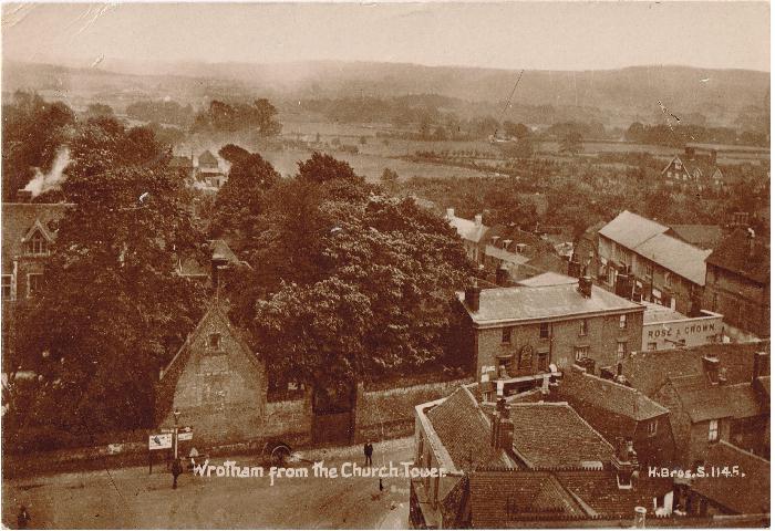
Below is looking down on the Square in 1918, the Three Postboys and the old Natwest on the corner, and the Rose & Crown on the junction with St Mary's Lane (Donkey Lane) with the Betenson almshouse just visible on the left
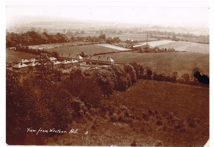
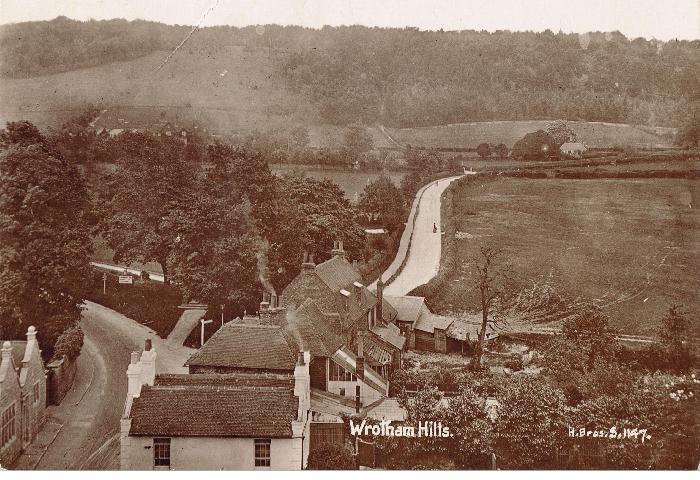
Below- th view looking south from Wortham Hill in 1935, The Pilgrim's Way part of the Tower Estae on the left. Battlefields in the distance on Kemsing Rd
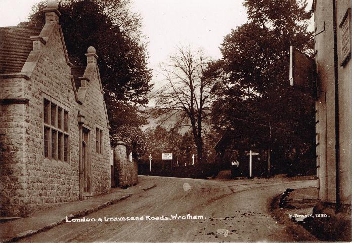
Looking North from the Church (Old) London Road forking to the left, Gravesend Road heading towards the hills. The Cemetery is hidden behind the tress on the left, the field on the right became the Cricket Ground. This picture must have been taken before the 1920s when the "new" A20 was built. Workmen from the A20 works leveled the ground that became the Cricket Ground, moving 1000s of tonnes of material with shovels and wheelbarrows
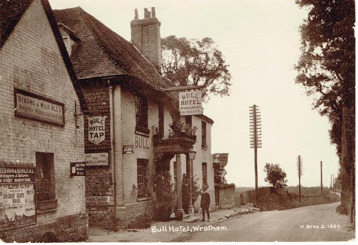
The Bull In 1921
The old Primary Scvhool on the High St 1913, now St Georges Hall, at the fork between London Rd and Gravesend Rd
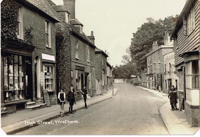
High St 1925
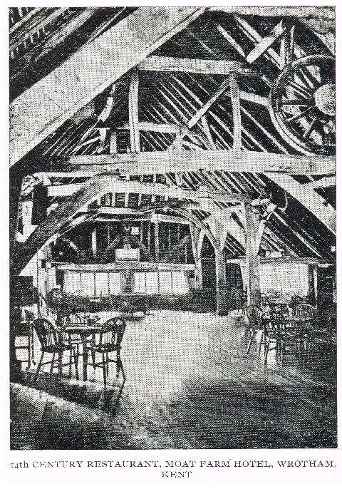
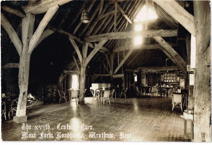
Moat Inn, now the Moat Hotel
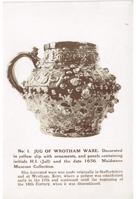
Moat Inn again Wrotham Ware Jug